-40%
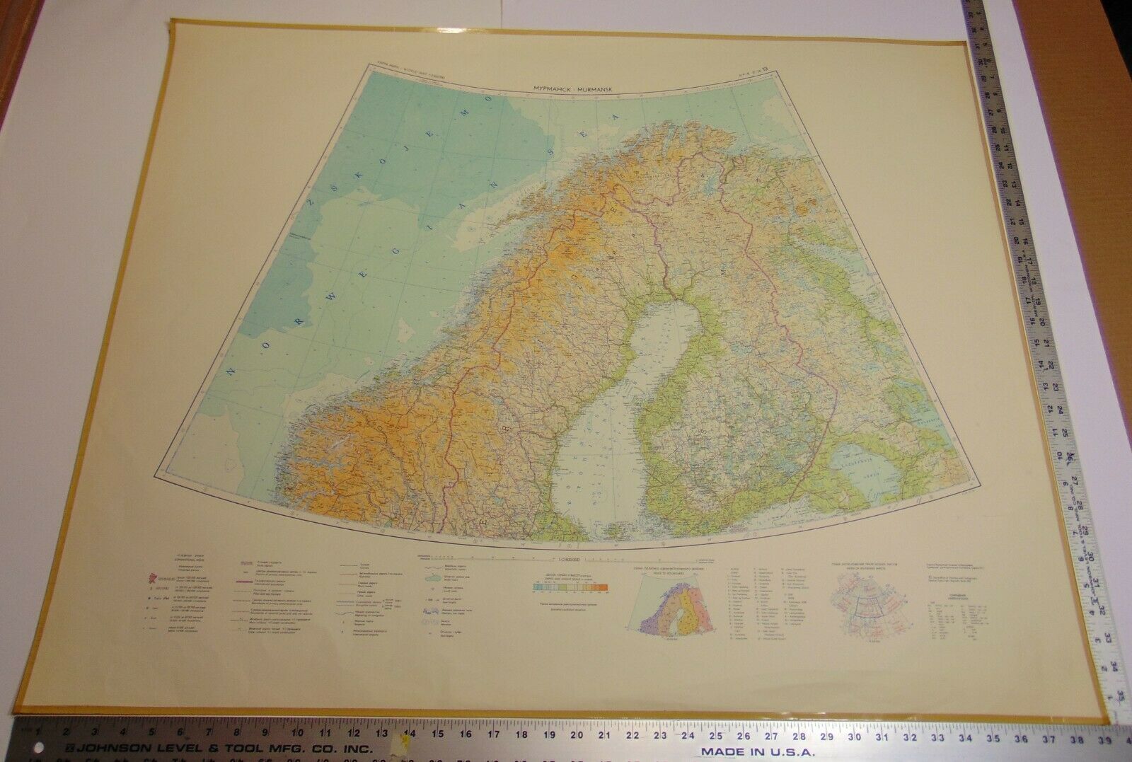
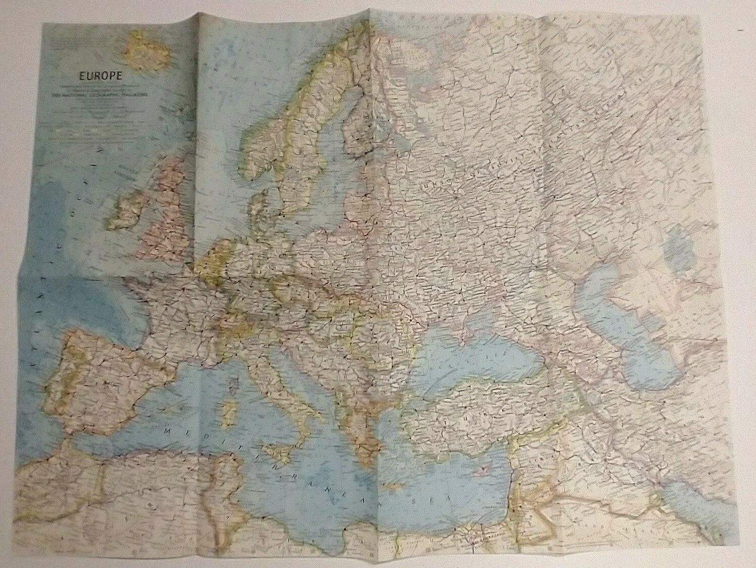
Map Azimuthal Equidistant Projection,Europe,Scandanavia,Eastern Bloc.,German
$ 25.34
- Description
- Size Guide
Description
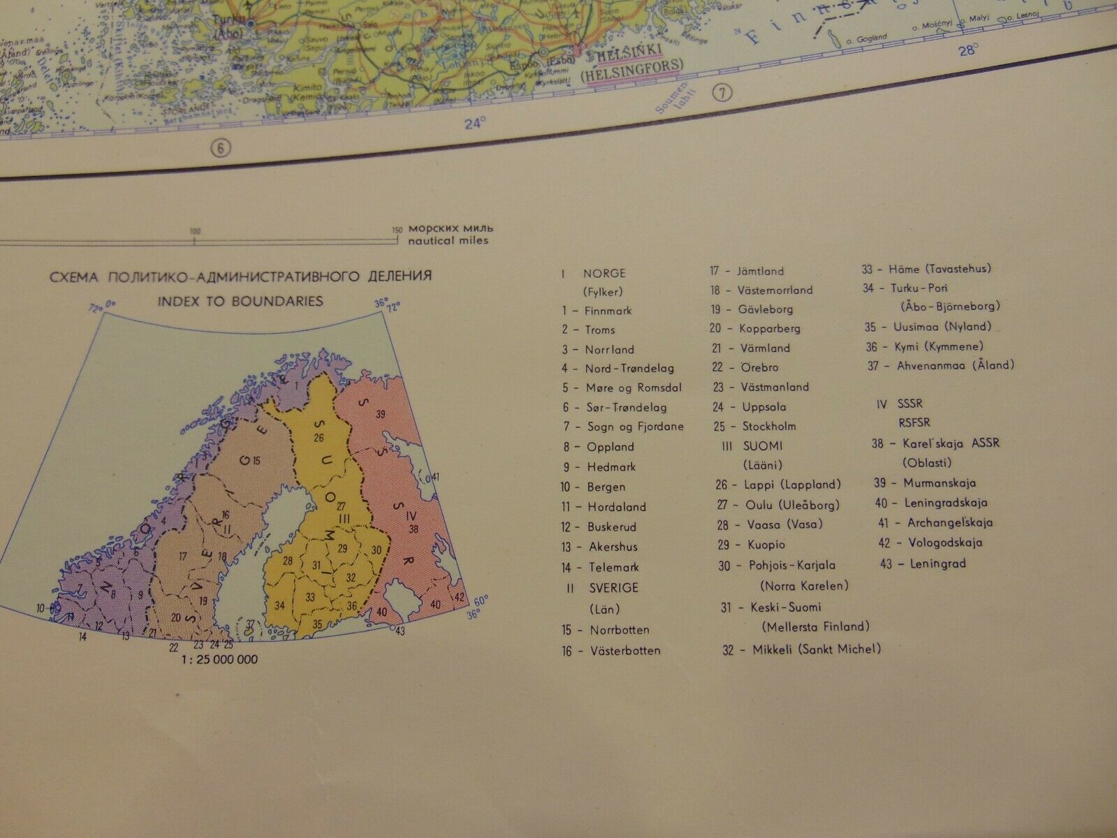
Map Azimuthal equidistant Projection, Scandanavia. Was created by the Office of the Geodesy and Cartograpy, German Democratic Republic, 1967.Buying the item in this listing as-is with no returns. Purchased from the University of Akron, Ohio. Approximate
Size 39-1/4" x 31-1/4"
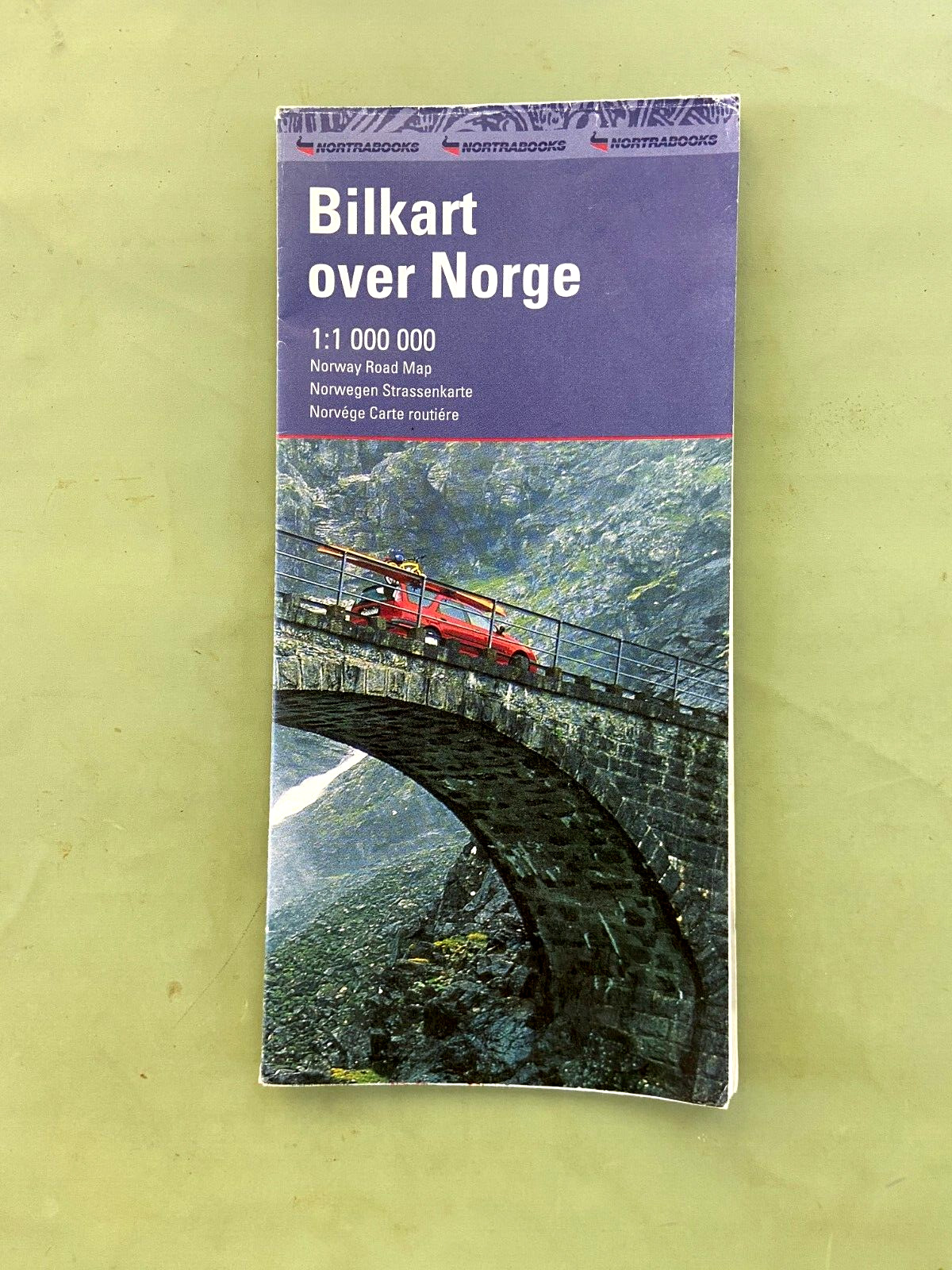
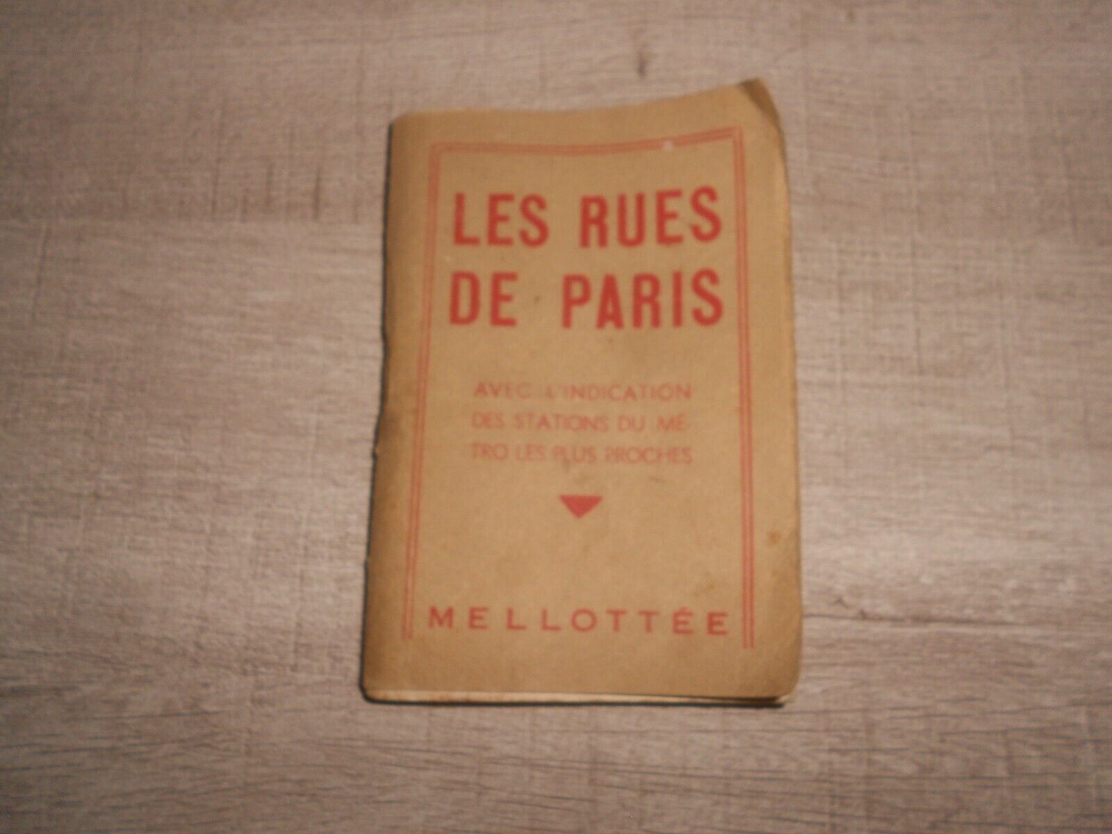
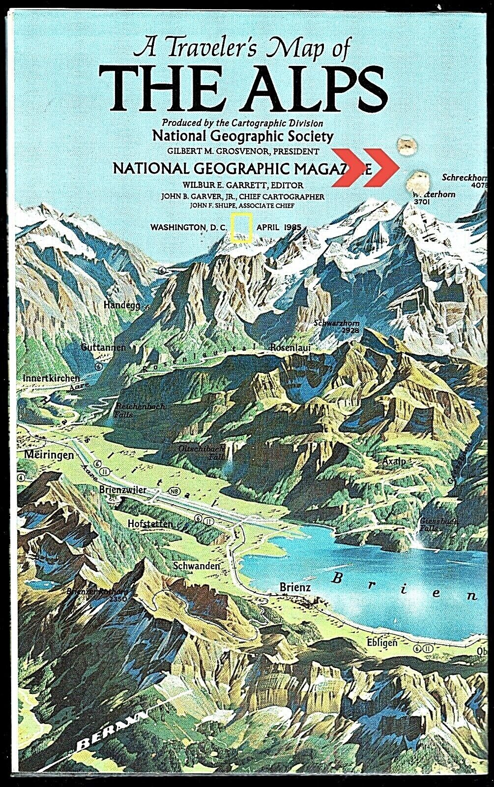
Used with slight discoloration, can have imperfections, markings, see the images for these conditions. The item has been taped around the border. See the images for the details on what is included in this listing, excluding the ruler. See the images for the condition of the item in this listing. Request other information if needed to determine the acceptability for use in your application. Make sure to review the images in detail to understand what you are purchasing.
