-40%
1949-4 April Vintage Map BRITISH ISLES National Geographic single-side - B (552)
$ 4.22
- Description
- Size Guide
Description
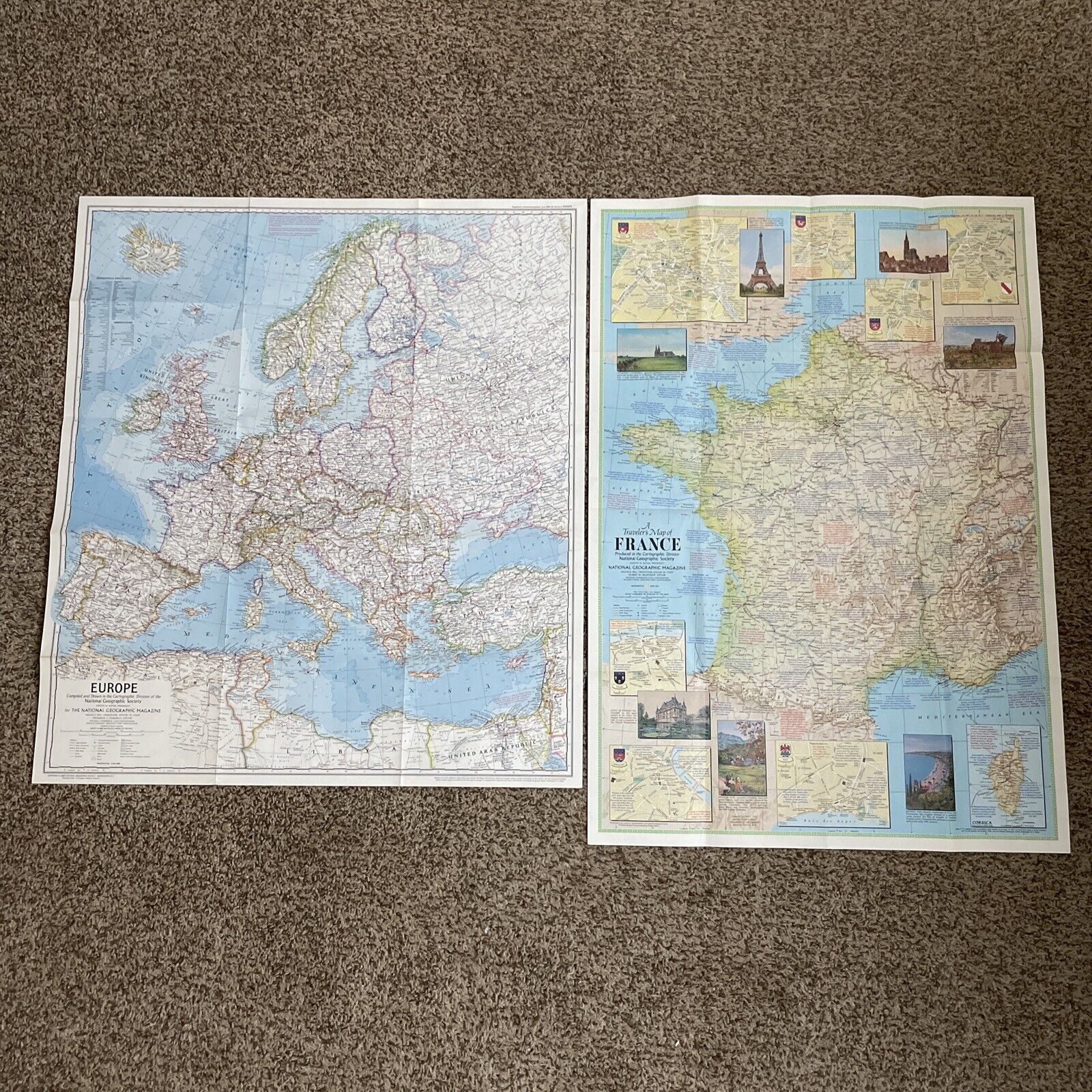
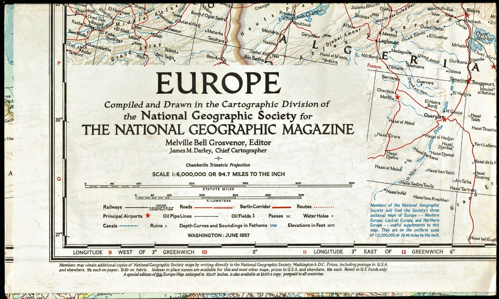
1949-4 April Vintage Map BRITISH ISLES National GeographicAn ornate single-side map in the classic National Geographic political style (shows country borders) of the British Isles, including England, Scotland, Ireland, and Wales.
Map is approximately 26” x 32”.
The National Geographic is known for it's fine maps & detailed information.
Supplement to the National Geographic Magazine; magazine is not included.
Free shipping to U.S.
International shipping is by weight - contact us for discounted shipping rates before you purchase.


